



POINT IN HISTORY
Interactive tool for exploring historical boundaries on maps, based on the Historical Boundaries Project.
Score
50
User Rating
1.0
Free/Trial Support
Supported
Starting Price
--
Last Updated
Aug 04, 2026
Overview
What is POINT IN HISTORY?
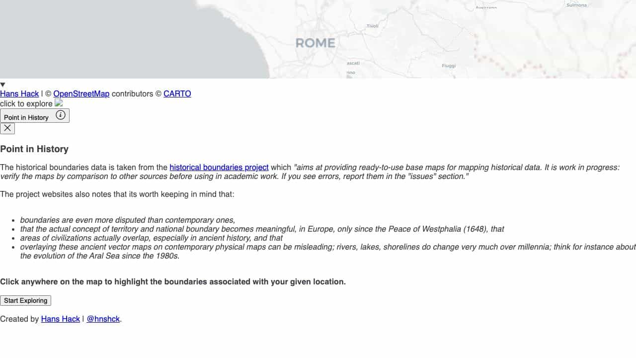
Point in History is a web-based tool that allows users to click on a map to highlight historical boundaries associated with a location, using data from the Historical Boundaries Project for mapping historical data.
What is POINT IN HISTORY used for?
Top Features
- Interactive map exploration
- Historical boundaries data
- Click-to-highlight functionality
- Based on open-source project
How to use POINT IN HISTORY?
Click anywhere on the map to explore and highlight historical boundaries for that location, with notes on data accuracy and changes over time.
Alternative Tools
No alternative tools found
Pros & Cons
Pros
- Free to use
- Educational and research-focused
- Easy to navigate
- Supports historical analysis
Cons
- Data may contain errors
- Limited to web platform
- No advanced customization
Use Cases
- Academic research on historical geography
- Educational demonstrations in history classes
- Consulting for historical mapping projects
POINT IN HISTORY Pricing
Free Plan
No detailed pricing information available
User Reviews
1.0
out of 5
1.0
No reviews yet
Be the first to review this tool!