



Natural Earth
Free public domain vector and raster map data at multiple scales for creating visually pleasing maps with cartography or GIS software.
Score
50
User Rating
1.0
Free/Trial Support
Supported
Starting Price
--
Last Updated
Apr 24, 2026
Overview
What is Natural Earth?
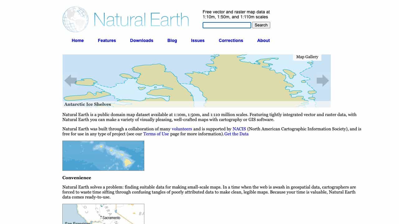
Natural Earth is a public domain map dataset providing vector and raster data at 1:10m, 1:50m, and 1:110m scales, designed for making small-scale maps with integrated, aligned layers and attributes for efficient mapmaking.
What is Natural Earth used for?
Top Features
- Vector and raster map data at multiple scales
- Tightly integrated and aligned data layers
- Embedded feature names and GIS attributes
- Public domain and free for any project
- Supports de facto boundaries and POV variants
How to use Natural Earth?
Download the data from the Natural Earth website and use it with cartography or GIS software to create maps, leveraging features like generalized linework, embedded names, and attributes for faster production.
Alternative Tools
No alternative tools found
Pros & Cons
Pros
- Free and open-source
- High-quality, ready-to-use data
- Precise alignment across layers
- Suitable for various map scales
- Supported by NACIS and volunteers
Cons
- Limited to small-scale maps
- May require GIS software expertise
- No built-in interactive tools
Use Cases
- Creating educational or thematic maps
- GIS analysis and visualization
- Cartography projects for publications
- Web mapping applications
- Academic research and studies
Natural Earth Pricing
Free Plan
No detailed pricing information available
User Reviews
1.0
out of 5
1.0
No reviews yet
Be the first to review this tool!