



LocaleScan
Real estate area overview platform
Score
60
User Rating
3.0
Free/Trial Support
Supported
Starting Price
--
Last Updated
Aug 13, 2026
Overview
What is LocaleScan?
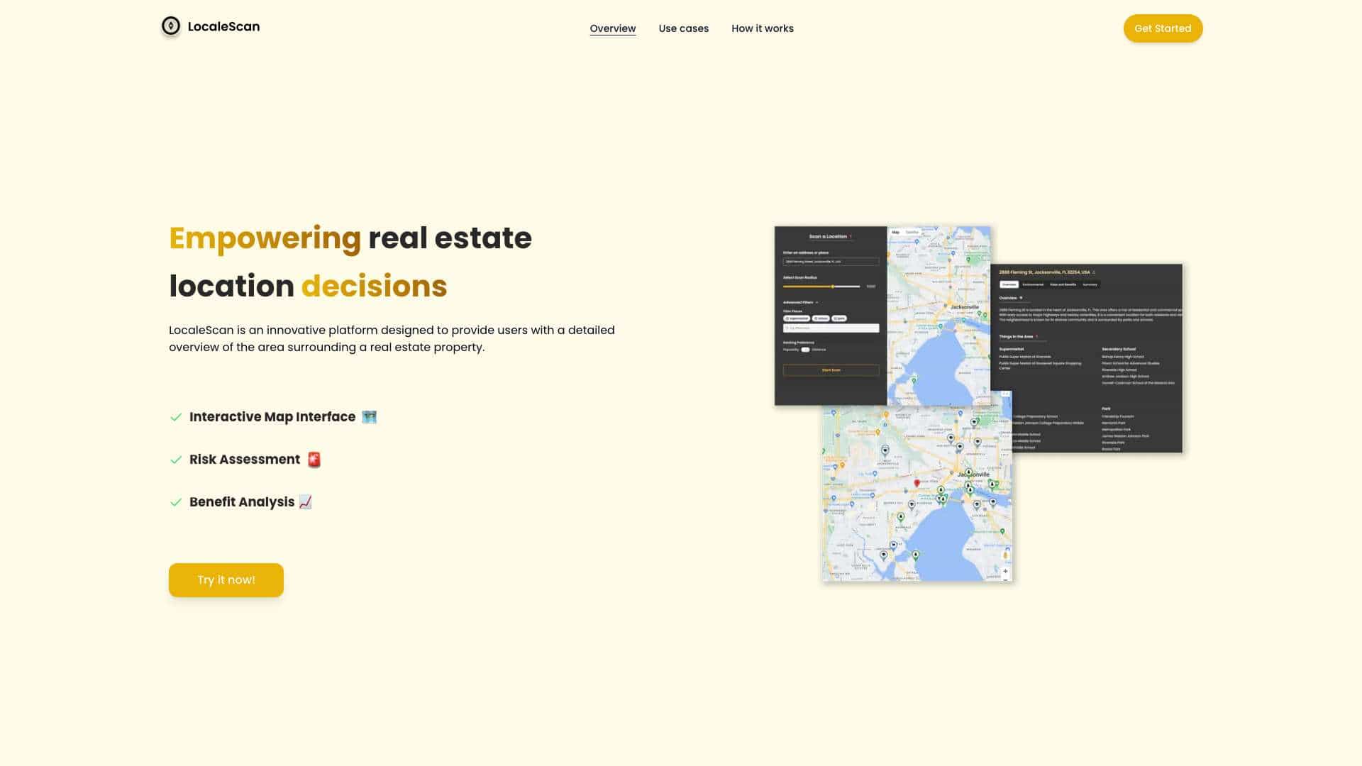
LocaleScan is an all-in-one solution for property seekers, offering comprehensive data on neighborhood amenities, crime rates, transportation options, environmental factors, and more. It's an innovative platform designed to provide users with a detailed overview of the area surrounding a real estate property, empowering informed real estate decisions.
What is LocaleScan used for?
Tags
Top Features
- Interactive Map Interface
- Risk Assessment (Crime Rates, Environmental Hazards, Economic Stability)
- Benefit Analysis (Local Amenities, Education and Childcare)
How to use LocaleScan?
Specify a location to analyze, define a scan radius, and enjoy the results.
Alternative Tools
No alternative tools found
Pros & Cons
No Data
Use Cases
- Home Buyers: Assess the safety, convenience, and overall suitability of a neighborhood before purchasing a property.
- Renters: Evaluate the pros and cons of different rental properties based on their location.
- Real Estate Investors: Identify high-potential investment areas and avoid locations with significant risks.
- Real Estate Agents: Provide clients with detailed, data-driven insights into potential properties.
- Urban Planners and Developers: Understand the existing conditions and potential challenges of development sites.
LocaleScan Pricing
Free PlanSubscription Plan
No detailed pricing information available
User Reviews
3.0
out of 5
3.0
No reviews yet
Be the first to review this tool!