



城市道路线性地图
A web tool that visualizes all roads in any city at once using WebGL for fast rendering.
Score
30
User Rating
3.0
Free/Trial Support
Supported
Starting Price
--
Last Updated
Jun 09, 2026
Overview
What is 城市道路线性地图?
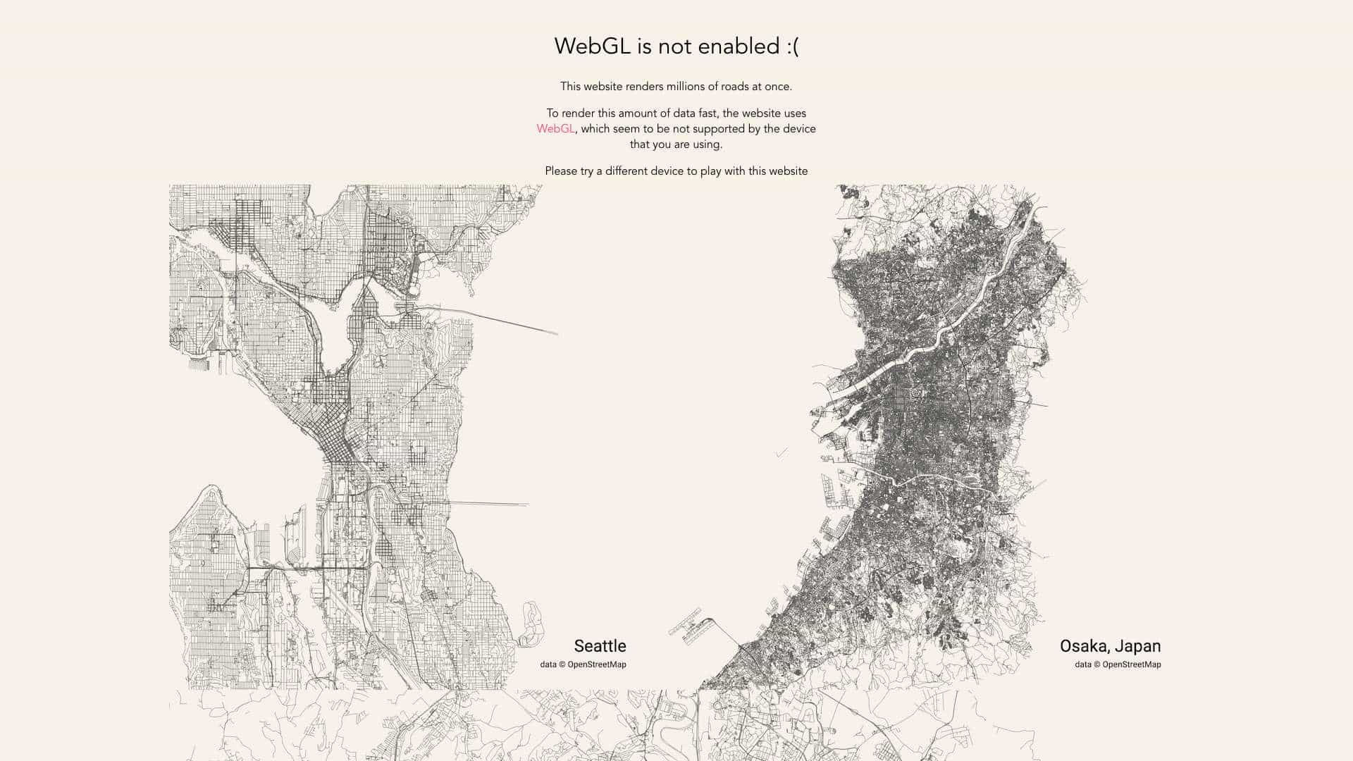
This is a website that allows users to select a city and draws every single road on the screen simultaneously, utilizing WebGL for high-performance rendering of millions of roads.
What is 城市道路线性地图 used for?
Top Features
- WebGL-based rendering
- City selection
- Real-time road visualization
How to use 城市道路线性地图?
Visit the website, choose a city from the available options, and view the linear map of all roads rendered in real-time. Requires a device with WebGL support.
Alternative Tools
No alternative tools found
Pros & Cons
Pros
- Fast rendering of large datasets
- Interactive city exploration
- No installation required
Cons
- Requires WebGL support
- Limited to web platform
Use Cases
- Urban planning research
- Educational demonstrations
- City visualization projects
城市道路线性地图 Pricing
Free Plan
No detailed pricing information available
User Reviews
3.0
out of 5
3.0
No reviews yet
Be the first to review this tool!