
earth wind map
Interactive real-time visualization of global weather and ocean data, including wind, currents, and atmospheric conditions.
User Rating
3.0
Score
30
Free/Trial Support
Not Supported
Features
1 Features
Last Updated
Mar 06, 2026
What is earth wind map?
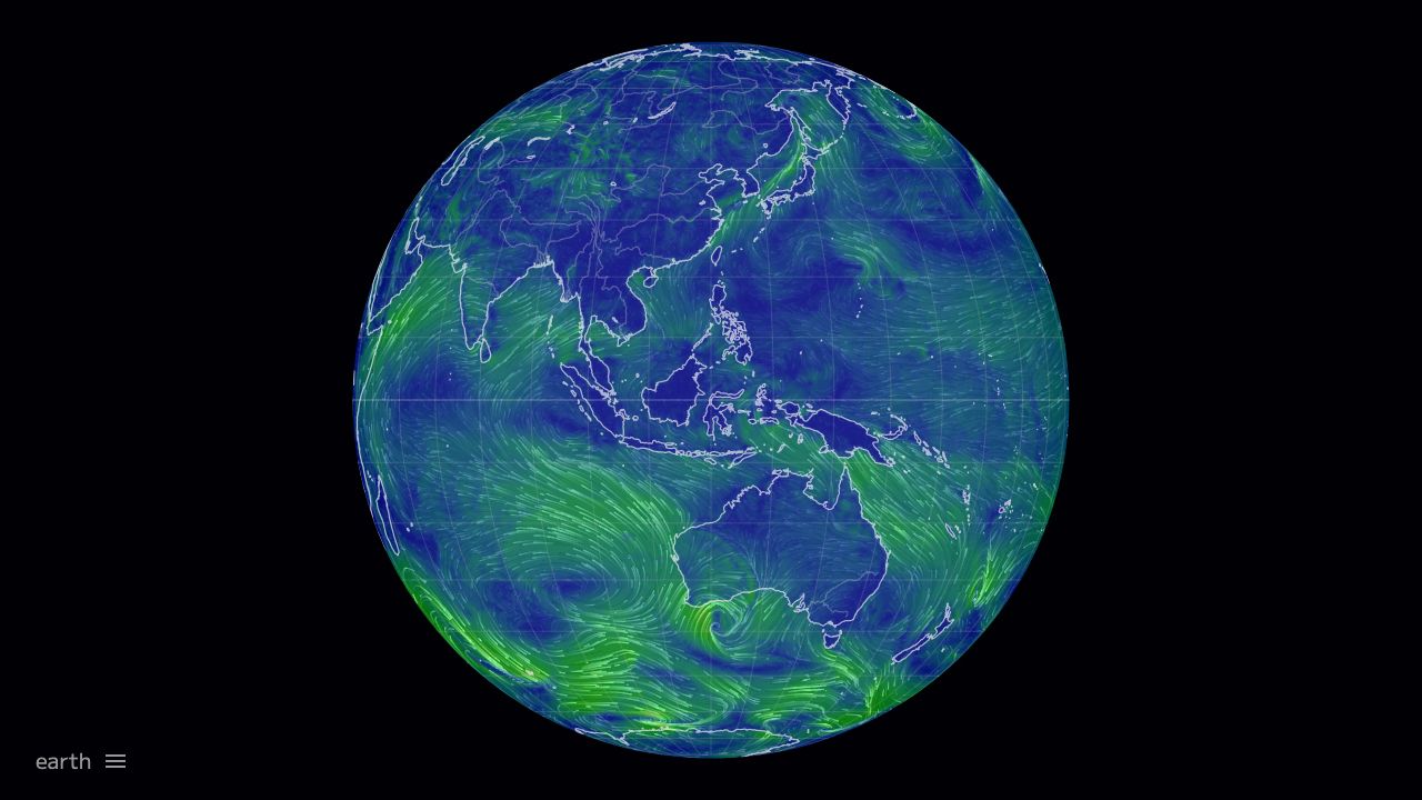
Earth Wind Map is a web-based tool that displays live global weather and climate data, such as wind patterns, ocean currents, temperature, and pollution levels, using data from sources like NOAA.
How to use earth wind map?
Access the website to view interactive maps, toggle between modes (e.g., Air, Ocean, Chem), adjust overlays, change dates, and animate wind or currents for real-time analysis.
Top Features
- Real-time wind animation
- Ocean current visualization
- Multiple data overlays (e.g., temperature, particulates)
- Customizable projections and settings
- Support for various languages
Pros & Cons
Pros
- Free to use
- Comprehensive global data
- User-friendly interactive interface
- Supports multiple data modes
Cons
- Dependent on external data sources like NOAA
- Potential for data disruption
- Limited to web platform
Use Cases
- Weather forecasting and analysis
- Educational purposes in schools
- Environmental research and monitoring
- Media and news visualization
User Groups
- science-community
- environmentalists
- data-enthusiasts
Cover Preview
EARTH WIND MAP Features
- Data Visualization functionalityData Visualization